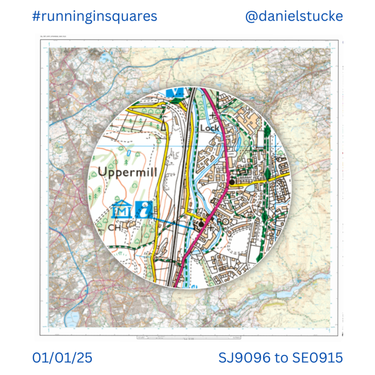
#RunningInSquares February 1st 24⊞2📍2⛰️
Another long run, this time to the North edge of the map. Enjoyed finding some new routes between places to tick off squares today. I’d never run along the channel that follows the M62 between the man in the middle and Saddleworth junction before, but it’s a runnable cut through that saves extending the run and climbing the hill behind. A lovely day out, legs super tired by the end and I’ve only got 4 weeks until the 60km Saddleworth 15 Res’s Ultra. Lots more training required.
Distance: 35km. New squares: 24. New Trigs 📍: 2. New Peaks ⛰️: 2.
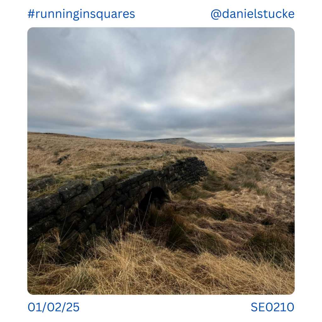
Started off with a slightly different route between Standedge and Pule Hill that included this old stone bridge in SE0210.
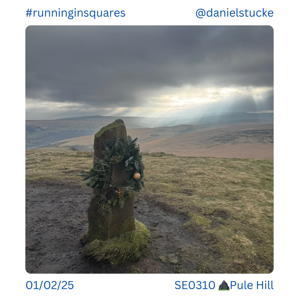
A Christmas wreath hangs on on top of Pule Hill above Marsden. SE0310.
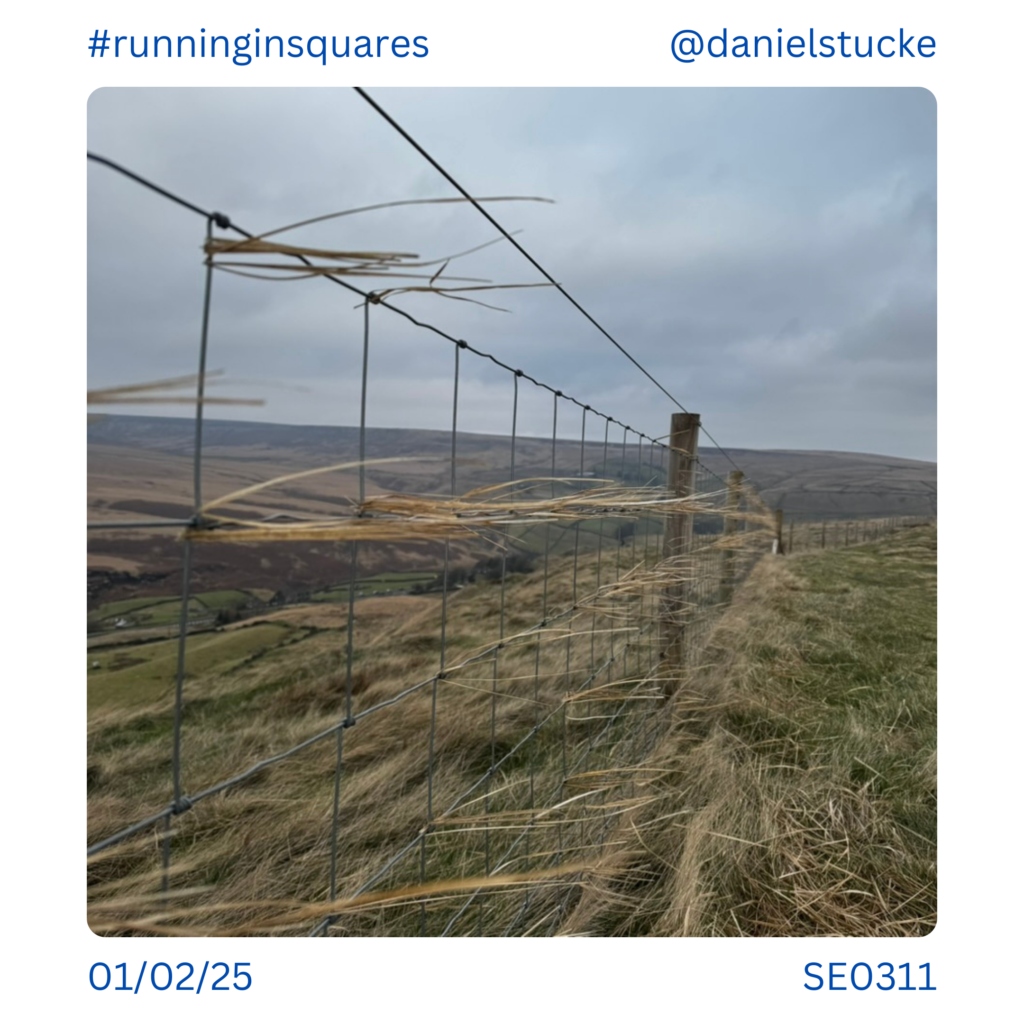
Windswept squares farther down Pule Hill, SE0311.
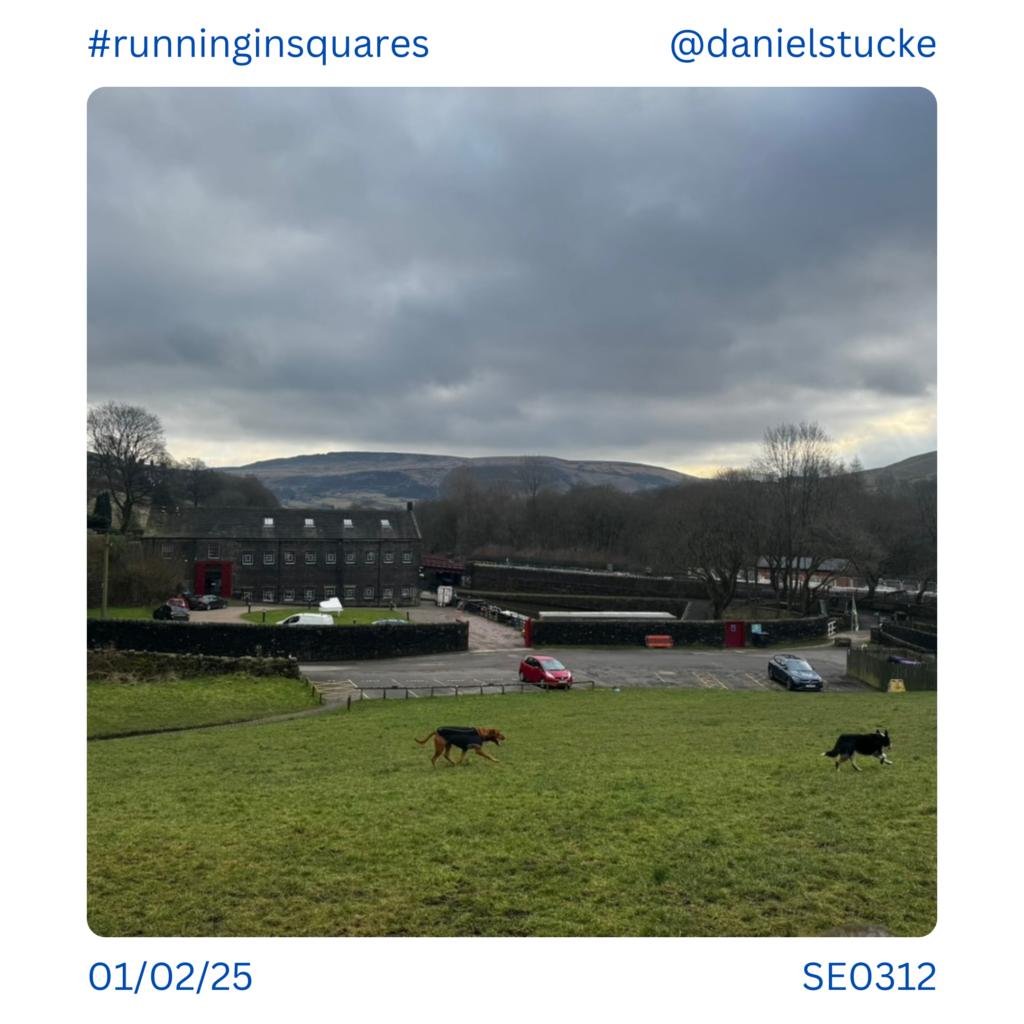
Tunnel End in Marsden, this is where the Huddersfield Canal re-emerges from the longest/deepest canal tunnel in England. SE0312.
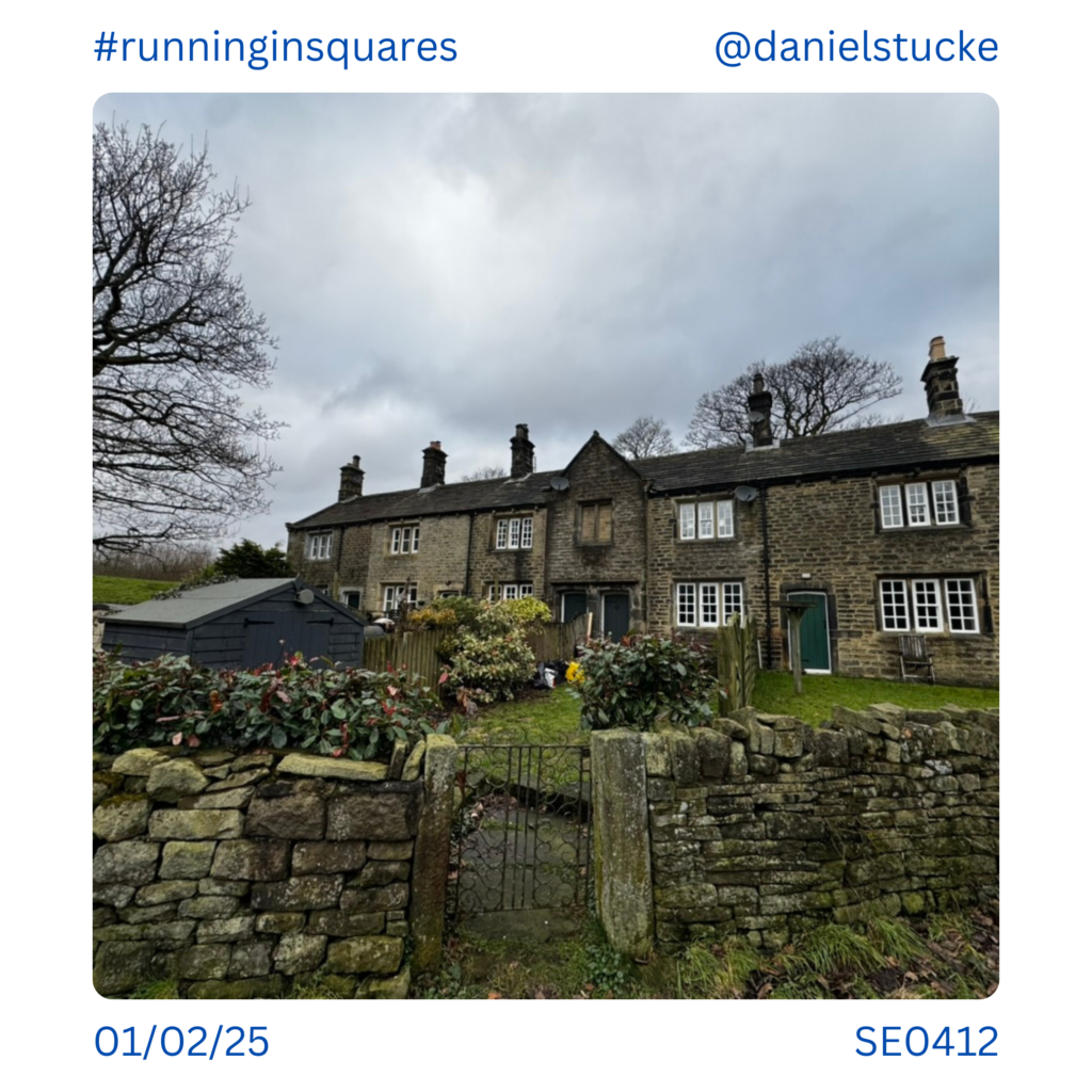
Taken a few feet from the last photo, these cottages are at tunnel end, just over in the next map square, SE0412.
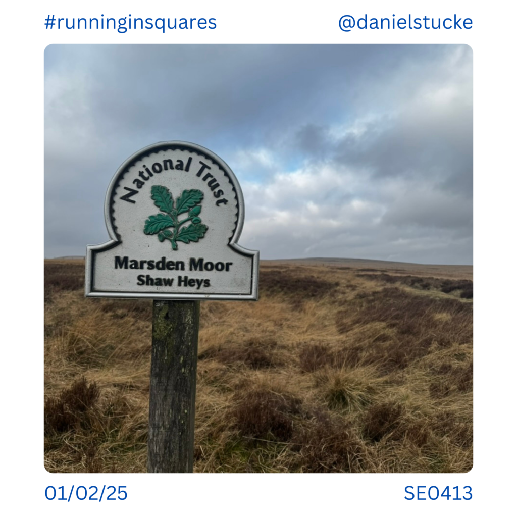
Climbing out of Marsden and heading North takes you to Shaw Heys on Marsden Moor. SE0413.
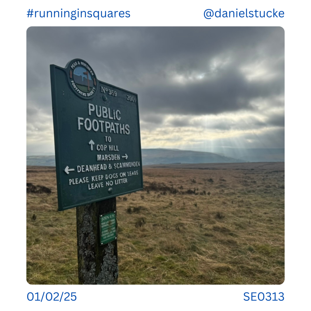
A sign points across the moorland in multiple directions. SE0313.
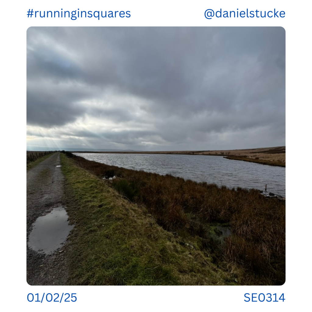
Cupwith Reservoir on top of Marsden Moor, SE0314.
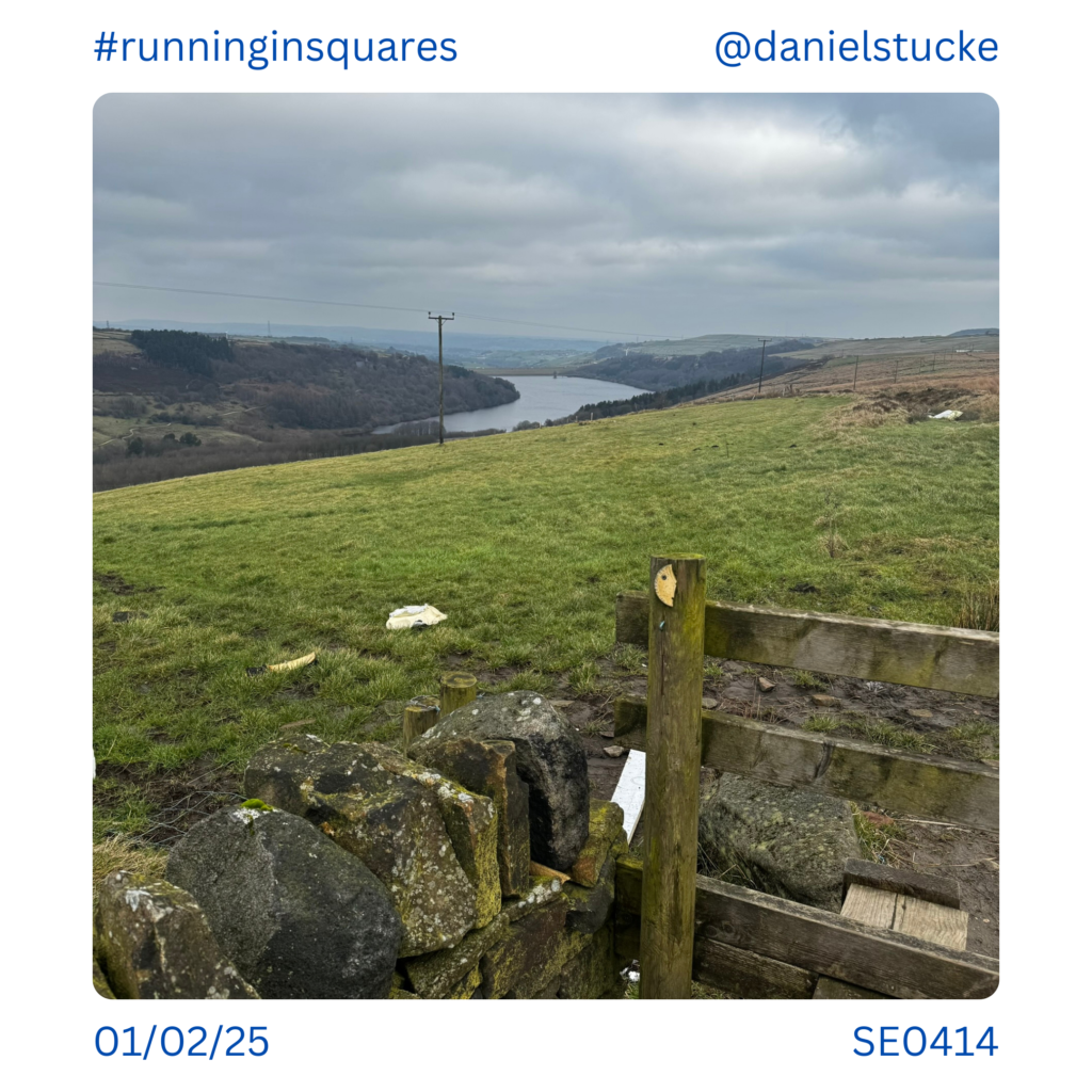
Looking down on Scammonden Reservoir from SE0414. If you’ve ever crossed between Manchester and Leeds on the M62 you drive past Scammonden.
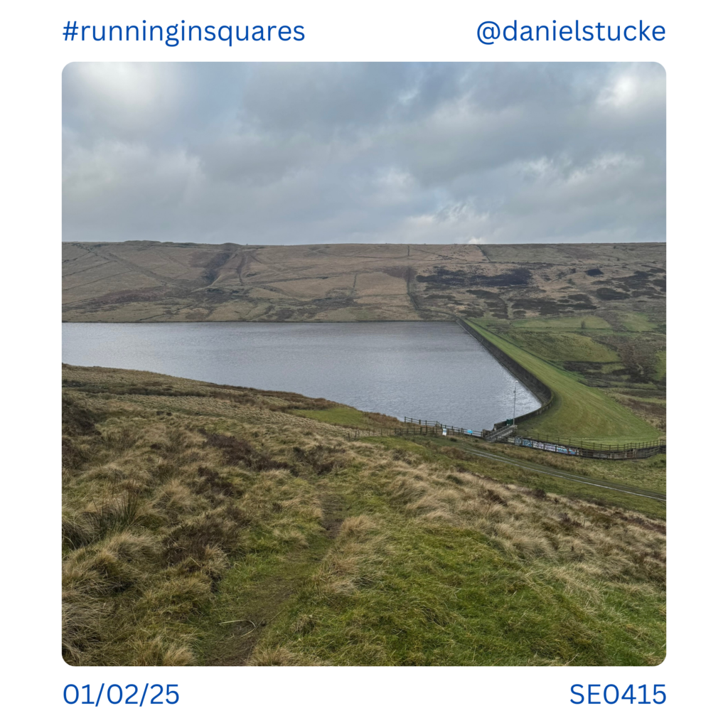
It’s reservoirs galore on the moors around here as you may have gathered. This is Deanhead Reservoir, seen from SE0415.
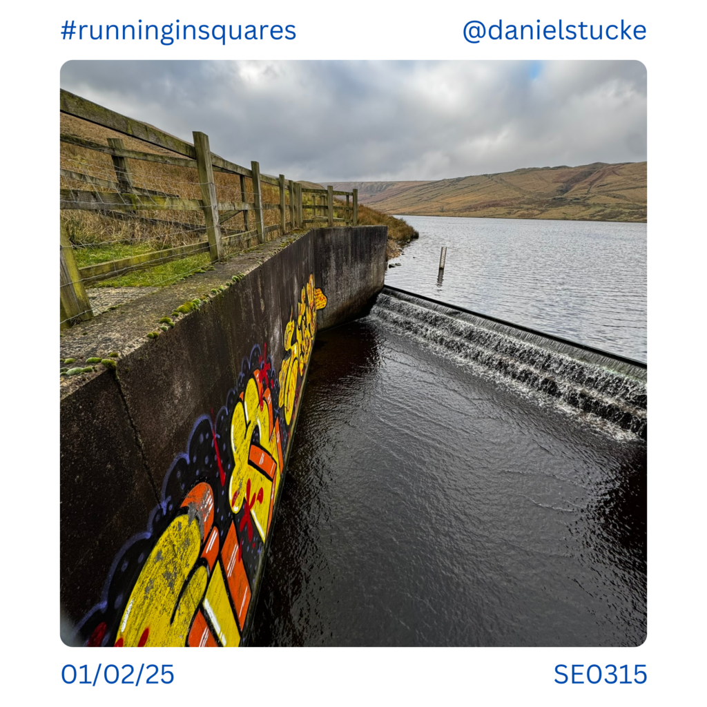
I saw more graffiti than you’d expect today. This was on the overflow slipway at Deanhead Reservoir, SE0315.
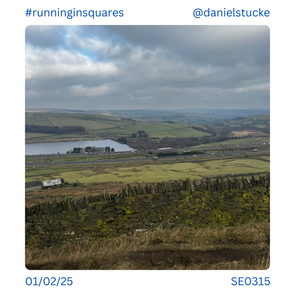
At the other end of SE0315 this is the view down on ‘the man in the middle’, the farm that sits in-between the two carriageways of the M62. The story goes that they wouldn’t sell so the motorway was built around them. Sadly, the story isn’t true and geography just meant the best way to build the motorway was with a big gap in it!
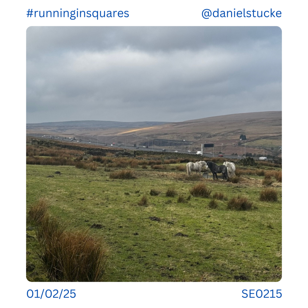
Horses on the moor alongside the M62, SE0215. I followed the man made waterway from here, never taken it before but it was totally runnable and delivered me to a motorway crossing I’d never used before…
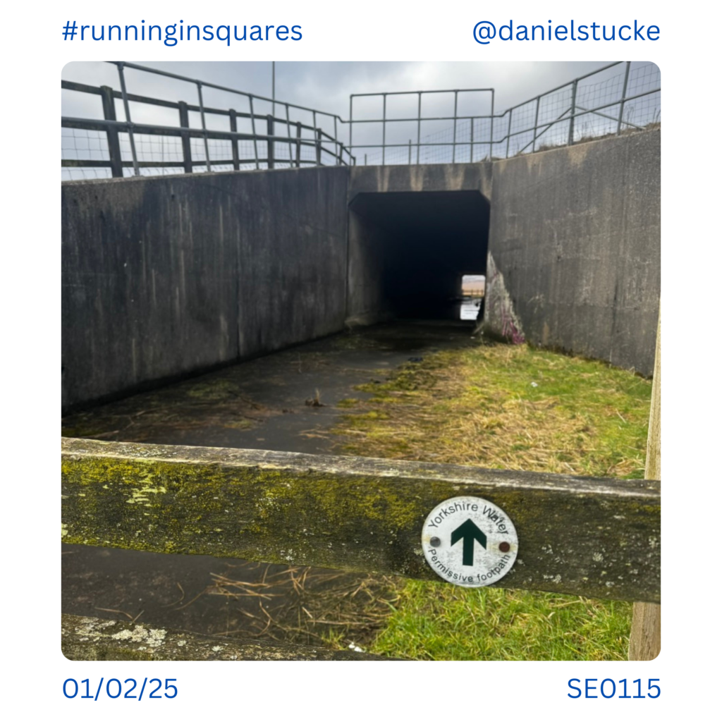
I was worried I wouldn’t be able to get under the motorway, but a permissive path runs under the motorway. SE0115.
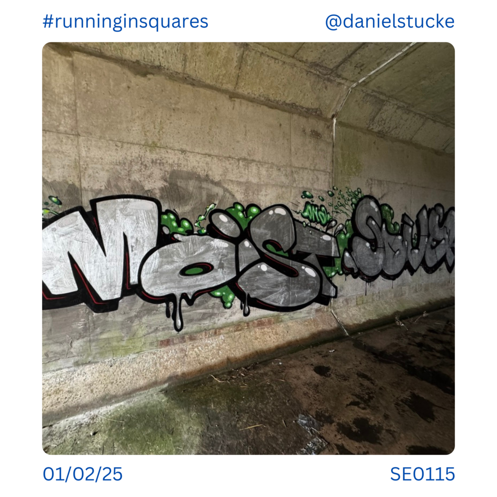
And there was more graffiti – props to the artists who went for a muddy walk to get here to do this! SE0115.
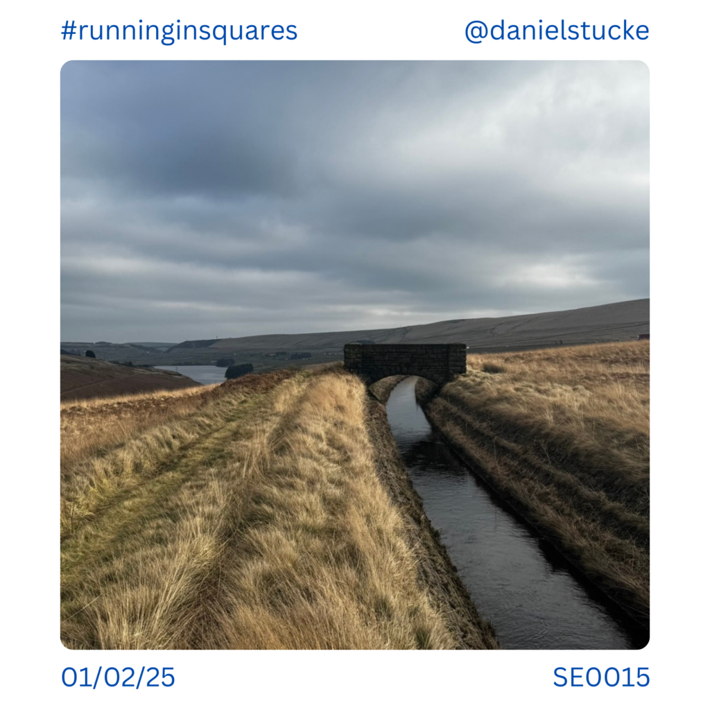
Continuing along the waterway towards the motorway junction. You can see here how man made the whole environment actually is. SE0015.

Victorian engineering/architecture at the top of the waterway. SD9915.
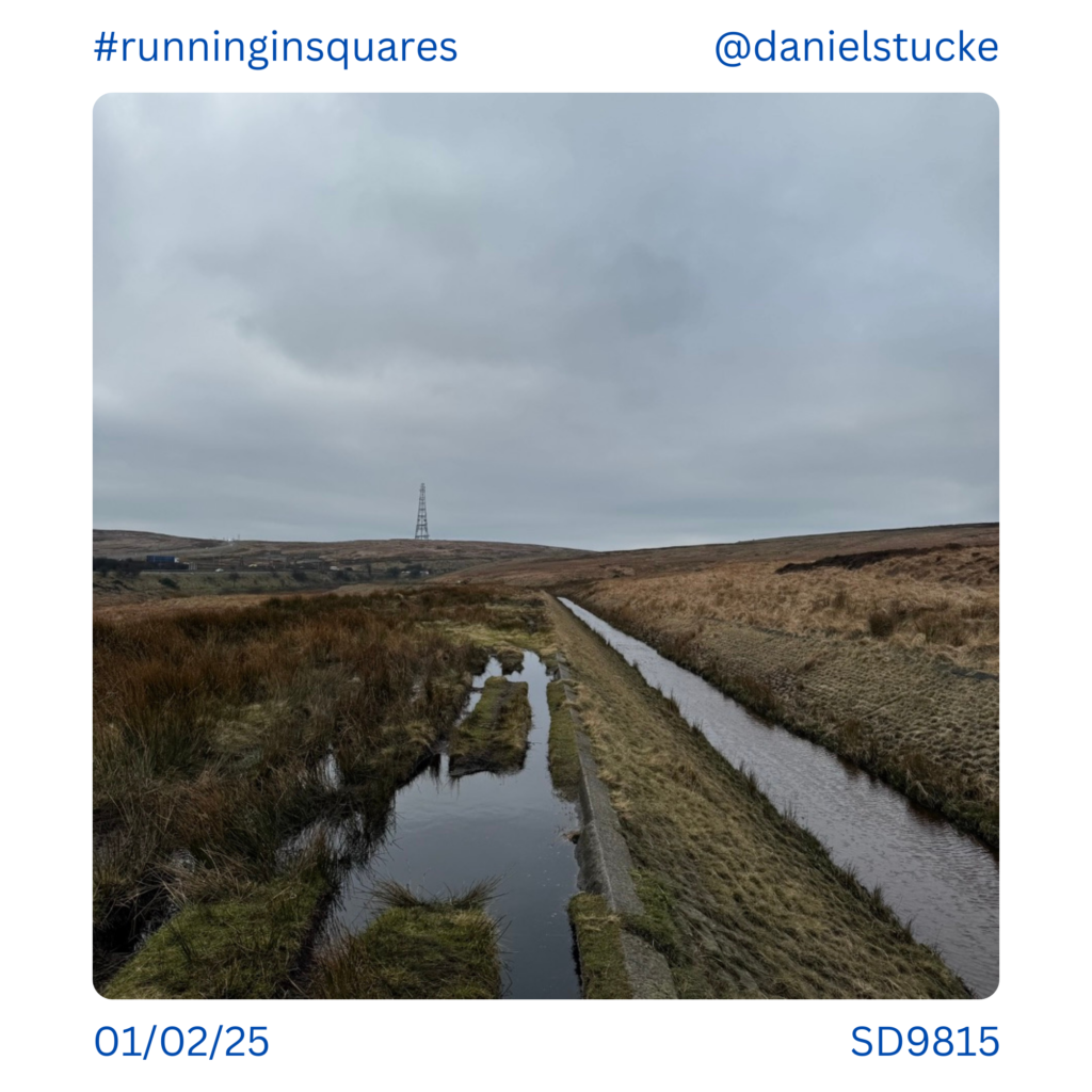
More waterways, SD9815. ‘Windy Hill’ in the background.
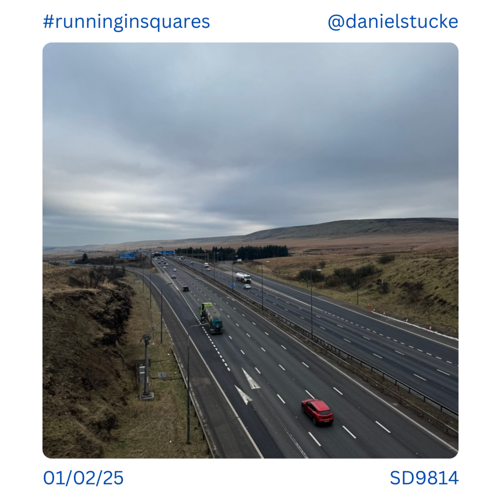
Heading over the M62 on the footbridge, just past the Saddleworth junction. SD9814.
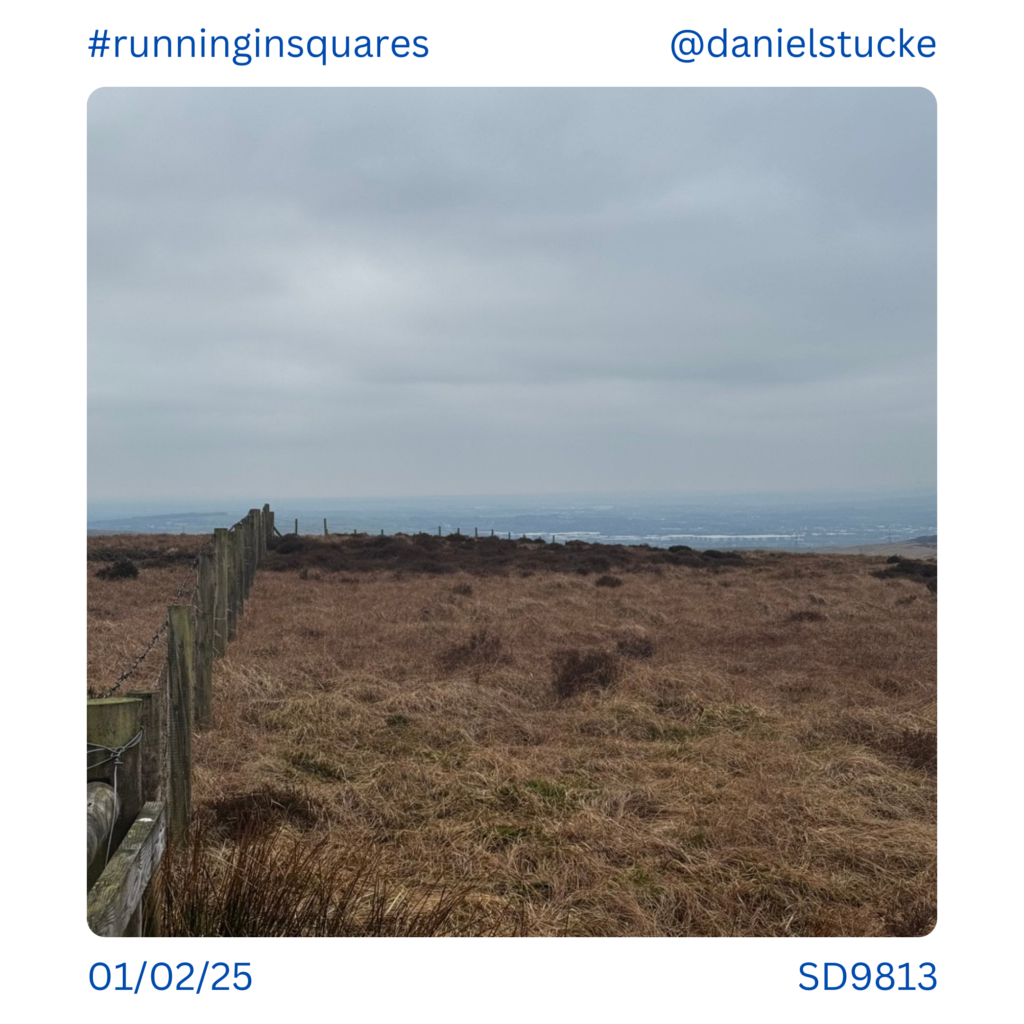
Looking down from the top towards Rochdale. The white line is a mass of Amazon and other warehouses. At some point those picturesque squares will need ticking off! SD9813.
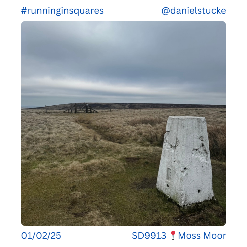
Moss Moor trig point looking out to Waystone Edge which is a peak that needs visiting at a later date, it’s about 1km East of here over open moorland, too much to cover today as well! SD9913.

A bit of bog hopping on the Pennine Way, SD9912.
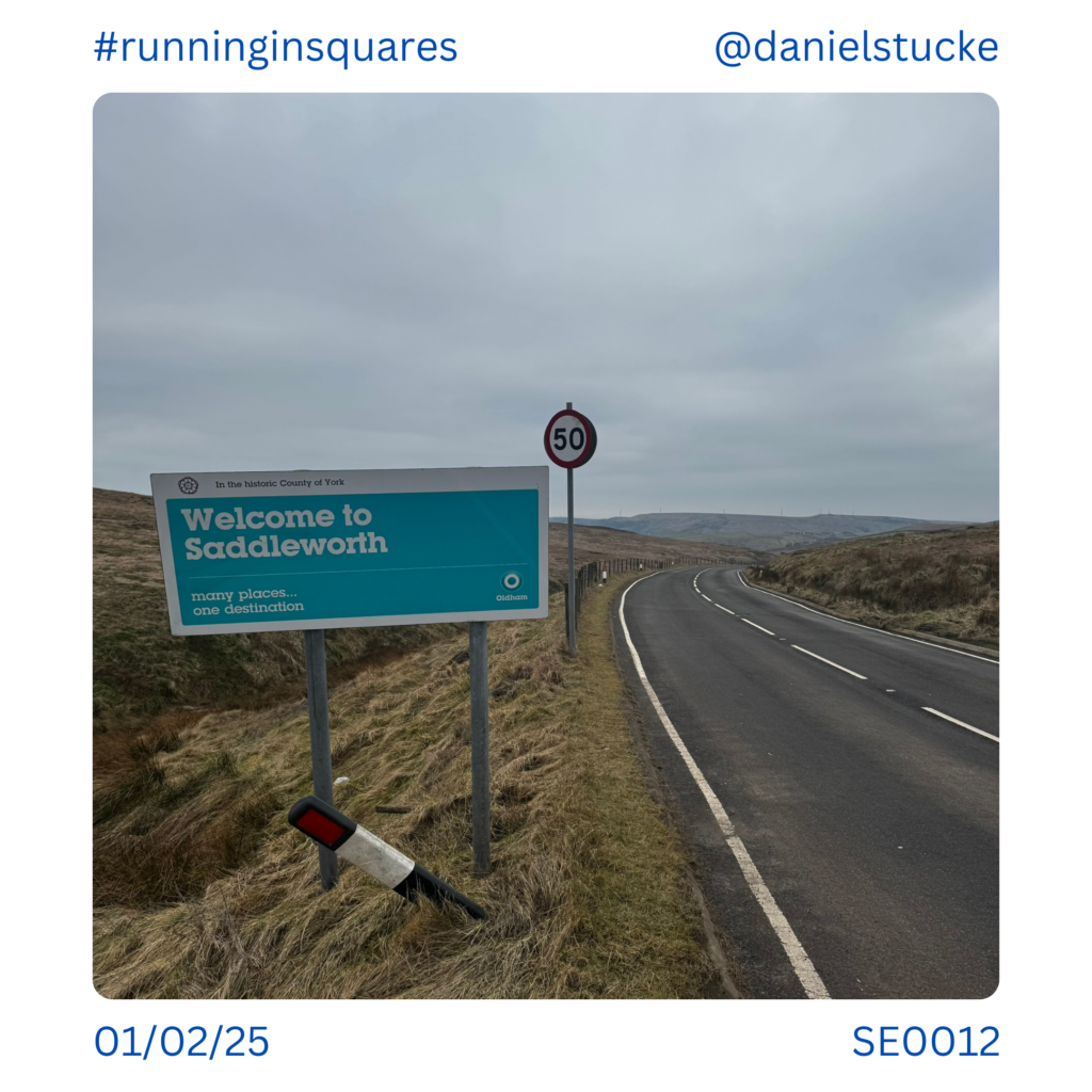
Crossing ‘Buckstones’ road above Denshaw. SE0012.

A style heading to a very boogy looking bit of open moorland. There’s no official path here, and fortunately that wasn’t the way I was heading! SE0011.
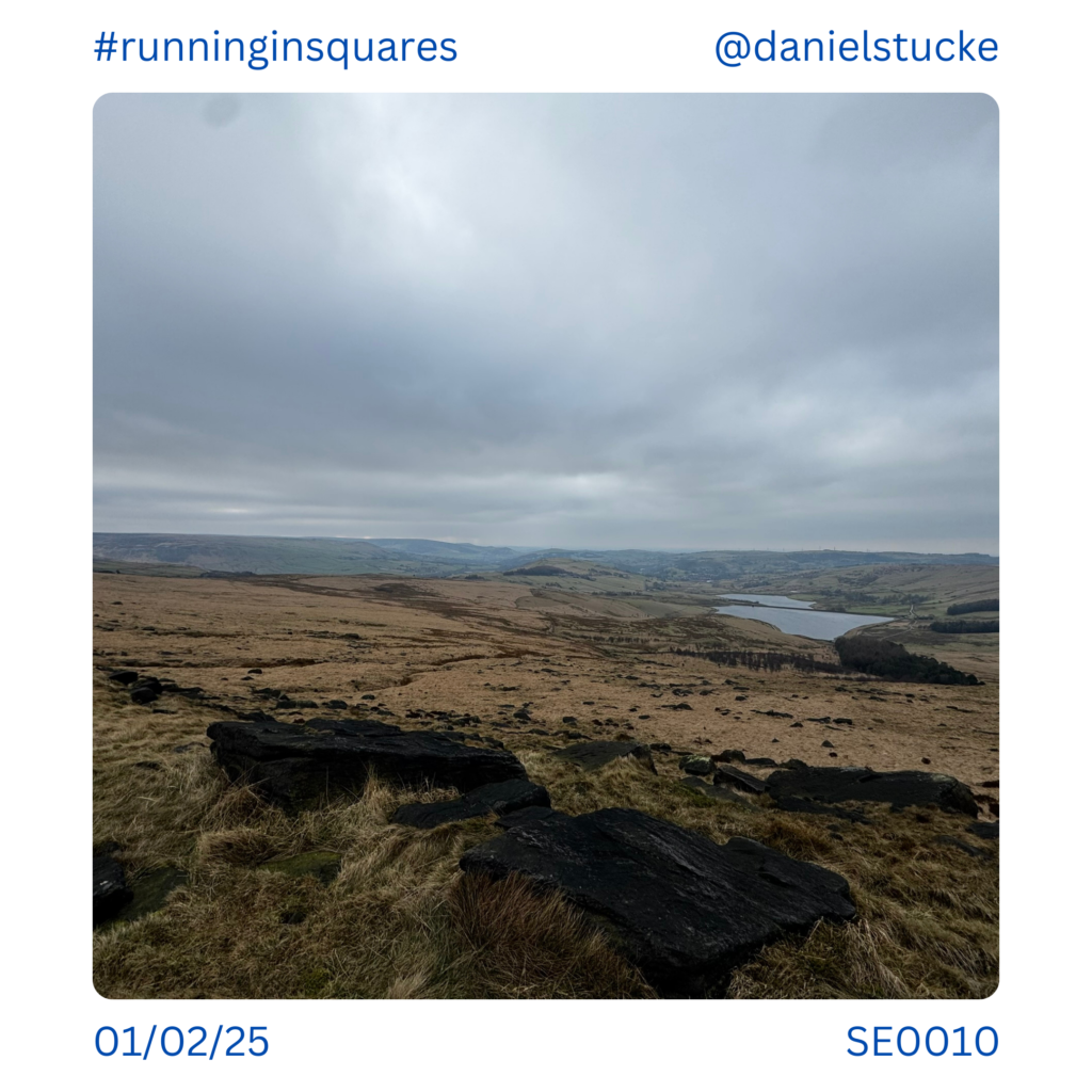
Heading home, looking down over Castleshaw Reservoirs. SE0010.
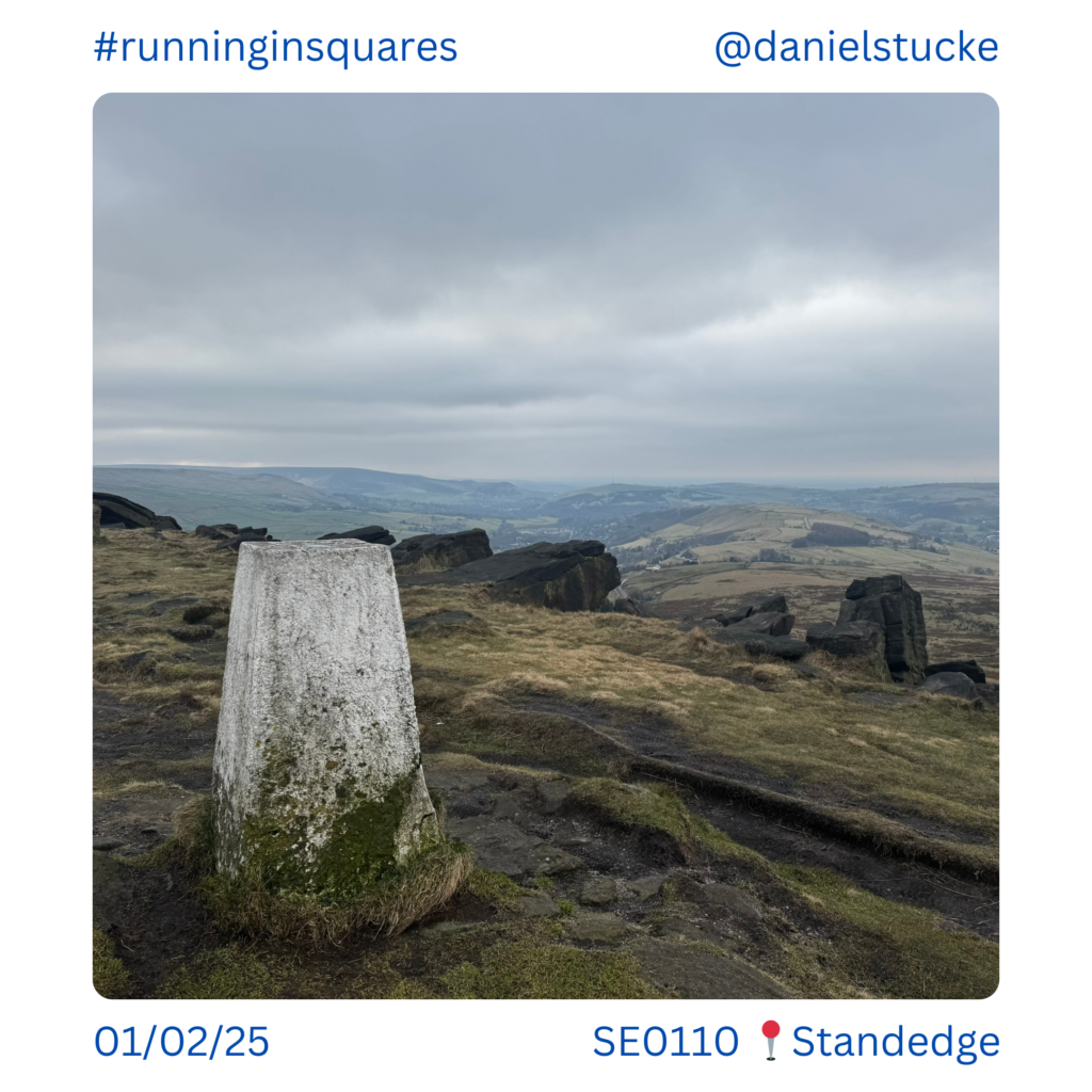
Standedge Trig point, looking down to Saddleworth and home. SE0110.